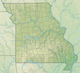
| Table Rock State Park | |
|---|---|
 Table Rock State Park Marina Table Rock State Park Marina | |
  | |
| Location | Taney and Stone counties, Missouri, United States |
| Coordinates | 36°34′58″N 93°18′27″W / 36.58280°N 93.30761°W / 36.58280; -93.30761 |
| Area | 356.03 acres (144.08 ha) |
| Elevation | 889 ft (271 m) |
| Established | 1959 |
| Administered by | Missouri Department of Natural Resources |
| Visitors | 1,163,479 (in 2023) |
| Website | Official website |
Table Rock State Park is a public recreation area in the U.S. state of Missouri consisting of 356 acres (144 ha) located in Taney County and Stone County on Table Rock Lake along the southern side of the city of Branson. The state park's facilities include a marina, campgrounds, and trails for hiking and bicycling.
References
- "Chinquapin Trail" (PDF). Missouri Department of Natural Resources. Retrieved January 5, 2025.
- ^ "Data Sheet: Table Rock State Park" (PDF). Missouri Department of Natural Resources. Retrieved January 5, 2025.
- "State Park Land Acquisition Summary". Missouri State Parks. August 25, 2011. Retrieved January 5, 2025.
- "Table Rock State Park". Missouri Department of Natural Resources. December 10, 2010. Retrieved September 8, 2014.
External links
- Table Rock State Park Missouri Department of Natural Resources
- Table Rock State Park Map Missouri Department of Natural Resources