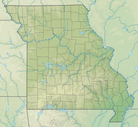
| Bryant Creek State Park | |
|---|---|
 | |
  | |
| Location | Douglas County, Missouri, United States |
| Coordinates | 36°49′07″N 92°25′20″W / 36.81870°N 92.42220°W / 36.81870; -92.42220 |
| Area | 2,917 acres (1,180 ha) |
| Established | 2016 |
| Administered by | Missouri Department of Natural Resources |
| Visitors | 9,415 (in 2022) |
| Website | Official website |
Bryant Creek State Park is a 2,917-acre (1,180 ha) public recreation area located along Bryant Creek in south central Douglas County, 22 miles (35 km) southeast of Ava in the Ozarks of southern Missouri. The state park includes some two miles of the meandering channel of Bryant Creek, the dolomite and sandstone bluffs along the river, and the oak and pine forested land adjacent to the river. The park's two hiking trails offer 5.1 miles of trail. The park opened with a ribbon-cutting ceremony in September 2022. It was one of three new Missouri state parks announced in 2016.
References
- "Data Sheet: Bryant Creek State Park" (PDF). Missouri State Parks. Retrieved December 27, 2024.
- "Missouri State Park Attendance For January - December, 2022" (PDF). Missouri State Parks. February 3, 2023.
- ^ "Missouri to add three state parks". Ozarks First. December 16, 2016. Retrieved December 17, 2016.
- "Bryant Creek State Park". Missouri Department of Natural Resources. Retrieved December 17, 2016.
- "Trails at Bryant Creek State Park". Missouri Department of Natural Resources. Retrieved December 27, 2024.
- "Bryant Creek State Park now open, ribbon cutting held Sept. 23". Ozark County Times. September 29, 2022. Retrieved May 8, 2023.
External links
- Bryant Creek State Park Missouri Department of Natural Resources
- Bryant Creek State Park Map Missouri Department of Natural Resources