| The Minarets | |
|---|---|
 Mount de la Beche and the Minarets Mount de la Beche and the Minarets | |
| Highest point | |
| Elevation | 3,040 m (9,970 ft) |
| Listing | New Zealand #8 |
| Coordinates | 43°30′31″S 170°16′21″E / 43.50861°S 170.27250°E / -43.50861; 170.27250 |
| Geography | |
 | |
| Location | South Island, New Zealand |
| Parent range | Southern Alps |
| Climbing | |
| First ascent | 1895 |
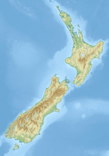
The Minarets are two peaks of the Southern Alps approximately 180 metres (590 ft) apart, located in Westland Tai Poutini National Park in the South Island of New Zealand. Its southeastern and northwestern peaks have heights of 3,040 metres (9,970 ft) and 3,031 metres (9,944 ft), respectively. After the 3,109 metres (10,200 ft) Mount Elie de Beaumont, they are the northernmost three-thousand-metre peaks in the country and are a few kilometres away from the highest mountains in New Zealand. Most of the other three-thousand-metre peaks in the country are located in the immediate vicinity.
The first ascent was made by Tom Fyfe and Malcolm Ross in 1895.
Gallery
References
- ^ "Topographic map". NZTopoMap. Retrieved 27 November 2021.
- ^ Peter Graham (June 1953). In Memoriam Thomas Camperdown Fyfe. Vol. XV. Christchurch: New Zealand Alpine Club. p. 285. Retrieved 27 November 2021.
| Westland Tai Poutini National Park, New Zealand | |
|---|---|
| Mountains | |
| Mountain passes | |
| Glaciers | |
| Lakes | |
| Rivers | |
| Lagoons | |
| Walking tracks | |
| Huts | |
| Reserves and World Heritage Sites | |
| Events | |
=
This West Coast Region (New Zealand) geography article is a stub. You can help Misplaced Pages by expanding it. |

