| Slatnik | |
|---|---|
 | |
| Highest point | |
| Elevation | 1,598 m (5,243 ft) |
| Coordinates | 46°14′07″N 13°59′55″E / 46.23528°N 13.99861°E / 46.23528; 13.99861 |
| Geography | |
| Location | Slovenia |
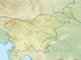
Slatnik (pronounced [ˈslaːtnik]) is a 1,598-meter (5,243 ft) mountain in northwestern Slovenia. It stands southwest of the Sorica Plateau.
Name
The name Slatnik appears in Slovenia as both an oronym and a settlement name (e.g., Slatnik, Veliki Slatnik, etc.). Like related names (e.g., Slatenik), it is derived from the common noun slatina 'spring with salty or acidic water', referring to a local geographical feature.
References
- ^ "Slatnik". Geopedia. Retrieved December 12, 2019.
- Savnik, Roman (1968). Krajevni leksikon Slovenije, vol. 1. Ljubljana: Državna založba Slovenije. p. 415.
- Tuma, Henrik (2000). Imenoslovje Julijskih Alp. Ljubljana: Tuma. p. 68.
- Snoj, Marko (2009). Etimološki slovar slovenskih zemljepisnih imen. Ljubljana: Modrijan. p. 380.
External links
46°14′07″N 13°59′55″E / 46.23528°N 13.99861°E / 46.23528; 13.99861
This Slovenian geography article is a stub. You can help Misplaced Pages by expanding it. |
