| Oberaarsee | |
|---|---|
 | |
   | |
| Location | Guttannen, Canton of Bern |
| Coordinates | 46°33′N 8°16′E / 46.550°N 8.267°E / 46.550; 8.267 |
| Type | reservoir |
| Catchment area | 19.4 km (7.5 sq mi) |
| Basin countries | Switzerland |
| Max. length | 2.8 km (1.7 mi) |
| Surface area | 1.47 km (0.57 sq mi) |
| Max. depth | 90 m (300 ft) |
| Surface elevation | 2,303 m (7,556 ft) |
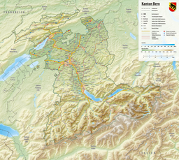
Oberaarsee is a hydroelectric reservoir in the Grimsel area, part of the municipality of Guttannen, Switzerland. Its surface area is 1.47 km (0.57 sq mi). The Oberaar dam was completed in 1953, and is operated by Kraftwerke Oberhasli. It is drained by the Oberaarbach, which flows into the Grimselsee.
The Oberaar glacier is located west of the lake.
See also
References
External links
 Media related to Oberaarsee at Wikimedia Commons
- Lake Oberaar
This article related to a lake in the canton of Bern is a stub. You can help Misplaced Pages by expanding it. |