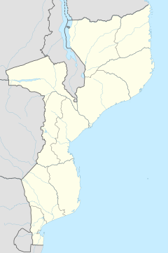
| Nangana | |
|---|---|
 | |
| Coordinates: 12°52′S 39°34′E / 12.867°S 39.567°E / -12.867; 39.567 | |
| Country | |
| Province | Cabo Delgado Province |
| District | Ancuabe District |
| Time zone | UTC+2 (Central Africa Time) |
Nangana is a village in Ancuabe District in Cabo Delgado Province in northeastern Mozambique. The primary language spoken is Portuguese.
References
- "NGA GeoName Database". National Geospatial-Intelligence Agency. Archived from the original on 2008-06-08. Retrieved 2008-06-26.
External links
This Mozambique location article is a stub. You can help Misplaced Pages by expanding it. |