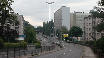
Montrapon, with Fontaine-Écu are two sectors forming an area located in the north of Besançon (France). In 1990, they counted approximately 10,000 inhabitants.
The Fort of Justices was located in this area.
References
- (in French) Des quartiers et des hommes, chapitre VI : base de données des quartier
- Dutriez, Robert (1981). Besançon ville fortifiée: De Vauban à Séré de Rivières (in French). Cêtre. pp. 13–77. ISBN 978-2901040200.
47°15′07″N 6°00′44″E / 47.2519°N 6.0121°E / 47.2519; 6.0121
This article related to geography of France is a stub. You can help Misplaced Pages by expanding it. |