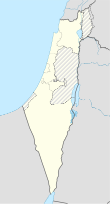
| Mitzpe Ramon Airfield מנחת מצפה רמון | |||||||||||
|---|---|---|---|---|---|---|---|---|---|---|---|
| Summary | |||||||||||
| Serves | Mitzpe Ramon, Israel | ||||||||||
| Elevation AMSL | 2,560 ft / 780 m | ||||||||||
| Coordinates | 30°39′08″N 034°48′24″E / 30.65222°N 34.80667°E / 30.65222; 34.80667 | ||||||||||
| Map | |||||||||||
 | |||||||||||
| Runways | |||||||||||
| |||||||||||
Mitzpe Ramon Airfield (Hebrew: מִנְחָת מִצְפֵּה רָמוֹן) (IATA: MIP, ICAO: LLMR) is an Israeli airfield 4 kilometres (2.5 mi) in the north of the town of Mitzpe Ramon.
Portals:| Israeli airports | |
|---|---|
| International | |
| Domestic | |
| Unscheduled | |
| Military | |
| Defunct | |
| Statistics | List of the busiest airports in Israel |
This article about an Asian airport is a stub. You can help Misplaced Pages by expanding it. |
This Israel Defense Forces-related article is a stub. You can help Misplaced Pages by expanding it. |