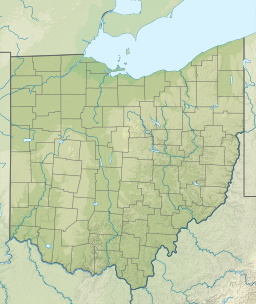
| Madison Lake | |
|---|---|
  | |
| Location | Madison County, Ohio, USA |
| Coordinates | 39°52′25″N 83°22′29″W / 39.87361°N 83.37472°W / 39.87361; -83.37472 |
| Type | Reservoir |
| Basin countries | United States |
| Surface area | 98 acres (0.40 km) |
| Surface elevation | 961 ft (293 m) |
| Settlements | Madison Lake |
Madison Lake is a reservoir in Madison County, Ohio located east of London, at 39°52′25″N 83°22′29″W / 39.87361°N 83.37472°W / 39.87361; -83.37472. The community of Madison Lake sits on the western shore of the lake.
History
Work on the lake was started in 1946, when land was deeded to the state for the purpose of building a lake. A dam was built across Deer Creek in this location, and the 6-foot (1.8 m) deep, 98-acre (40 ha) lake was filled within a year. In 1950, the lake was turned over to the Ohio Department of Natural Resources. The 183 acres (74 ha) of land surrounding the lake has since become Madison Lake State Park.
References
- U.S. Geological Survey Geographic Names Information System: Madison Lake (Ohio)
- Madison Lake History, Ohio Department of Natural Resources, 2012.
This Madison County, Ohio state location article is a stub. You can help Misplaced Pages by expanding it. |