| Lambs Head | |
|---|---|
| Kahlpahlim Rock | |
 | |
| Highest point | |
| Elevation | 1,309 m (4,295 ft) |
| Coordinates | 17°01′03″S 145°38′06″E / 17.0175°S 145.6349°E / -17.0175; 145.6349 |
| Geography | |
| Location | Mareeba, Queensland, Australia |
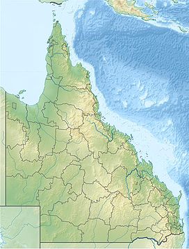
Lambs Head, also known as Kahlpahlim Rock, is a mountain near Mareeba in the Dinden National Park, Far North Queensland, Australia. Lambs Head rises 1,309 metres (4,295 ft) and is the highest point on the Lamb Range.
There are two trails that when combined, create a difficult 12.3 km circuit that takes hikers to the summit and back.
See also
References
- ^ "QTOPO". Retrieved 7 January 2020.
- ^ "About Davies Creek and Dinden". Retrieved 7 January 2020.
- "Kahlpahlim Rock circuit map" (PDF). Retrieved 7 January 2020.
This Far North Queensland geography article is a stub. You can help Misplaced Pages by expanding it. |