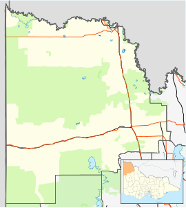
Town in Victoria, Australia
Karween is a locality situated on the Redcliffs-Merringur Road in the Sunraysia region, south of the Sturt Highway. It is about 9 kilometres (about 5.6 miles) east from Morkalla and 6 kilometres (about 3.7 miles) west from Meringur. The railway arrived soon after the area was settled by returned servicemen after World War I, in 1931, and closed in 1964. Karween had a progress association operating in the 1930s.
References
- Travelmate Archived 24 March 2007 at the Wayback Machine
- Andrew Waugh (March 2003). "Redcliffs – Meringur" (PDF). Victorian Signalling Histories No 58, Version 1.0. p. 7. Retrieved 24 June 2014.
This article about a location in Victoria, Australia is a stub. You can help Misplaced Pages by expanding it. |
