| Grey Stone of Trough | |
|---|---|
 Both sides of the marker Both sides of the marker | |
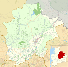
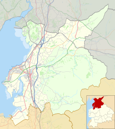
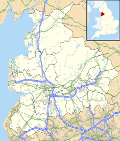
| Location | Trough of Bowland, Lancashire, England |
| Coordinates | 53°58′20″N 2°34′39″W / 53.97226°N 2.5774°W / 53.97226; -2.5774 |
| Built | 1897 (128 years ago) (1897) |
| Governing body | Historic England |
    | |
The Grey Stone of Trough is an historic boundary marker in Bowland Forest High, in the Trough of Bowland, Lancashire, England. A Grade II listed structure, erected in 1897 and standing on Trough Road, it marks the line of the pre-1974 county boundary between Lancashire and the West Riding of Yorkshire. Historically, the Trough marked the westernmost boundary of the ancient Lordship of Bowland.
It is in sandstone and has a triangular section with inscriptions on the two sides that face the road.
Inscriptions
- Lancashire side
"To Lancaster, 12 miles. Bay Horse, 10 miles"
- Yorkshire side
"To Whitewell, 5 miles. Clitheroe, 12.5 miles"
Gallery
References
- Hughes, R. A. (1987). "Geology of the Trough of Bowland area (SD 65 SW) : part of 1:50,000 Sheets 59 (Lancaster) and 67 (Garstang)". www.bgs.ac.uk. Retrieved 15 January 2023.
- Historic England. "BOUNDARY STONE AT SD 622 530 (1362241)". National Heritage List for England. Retrieved 19 December 2021.
- ^ Craven Local Plan, November 2019, Craven District Council, p. 94
This article about a Lancashire building or structure is a stub. You can help Misplaced Pages by expanding it. |

