| Cleugh Passage | |
|---|---|
  | |
| Coordinates | 13°37′N 93°00′E / 13.61°N 93.00°E / 13.61; 93.00 |
| Ocean/sea sources | Bay of Bengal |
| Basin countries | India |
| Max. width | 5 km (3.1 mi) |
| Islands | Landfall Island, East Island |
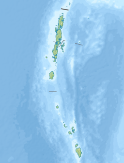
Cleugh Passage is a strait of the Bay of Bengal in the Andaman Islands, part of the Indian union territory of Andaman and Nicobar Islands. It lies at the north tip of North Andaman Island (Cape Price), and separates it from the smaller islands Landfall Island and East Island. It is about 5 km wide. West Island lies in the western approach to the passage.
References
- ^ Sailing Directions (Enroute), Pub. 173: India and the Bay of Bengal (PDF). Sailing Directions. United States National Geospatial-Intelligence Agency. 2017. p. 275.
- Geological Survey of India
 Andaman and Nicobar Islands travel guide from Wikivoyage
This Andaman and Nicobar Islands location article is a stub. You can help Misplaced Pages by expanding it. |