| This article needs additional citations for verification. Please help improve this article by adding citations to reliable sources. Unsourced material may be challenged and removed. Find sources: "Chabbise" – news · newspapers · books · scholar · JSTOR (June 2024) (Learn how and when to remove this message) |
| Chabbise | |
|---|---|
   | |
| Highest point | |
| Elevation | 1,948 m (6,391 ft) |
| Coordinates | 26°55′22.5″N 88°08′39″E / 26.922917°N 88.14417°E / 26.922917; 88.14417 |
| Geography | |
| Location | Suryodaya, Ilam District, Koshi Province, Nepal Mirik subdivision, Darjeeling, India |
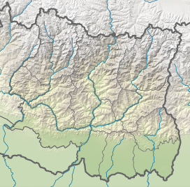
Chhabbise (or Chabbise) is a small settlement located between India and Nepal. It is located between Suryodaya Municipality of Ilam District of Nepal and Mirik subdivision of Darjeeling District of India. It is a hilly town located in 1948 m of elevation. There is a custom office and a BOP at the Nepal side of the border. NH11 connects this settlement with Phikkal Bazar and other parts of the country. There is a SH12 Highway Indian side of the border which connects the settlement with Mirik and other parts of India.
References
- "छब्बिसेमा सशस्त्र प्रहरीको बिओपी स्थापना" [BOP of Armed Police established at Chhabbise] (in Nepali). Safal Khabar. 2020-10-17. Retrieved 2024-06-06.
- "शसस्त्र र एसएसबी सँगसँगै" [Armed Police Force and (Nepal) and Armed Border Force (India) are together now] (in Nepali). Kantipur Media Group. 2018-10-07. Retrieved 2024-06-06.
| Mountain passes of Nepal | |
|---|---|
| Himalayan passes | |
This article about a location in Koshi Province of Nepal is a stub. You can help Misplaced Pages by expanding it. |
This article about a location in the Darjeeling district of West Bengal is a stub. You can help Misplaced Pages by expanding it. |