| This article relies largely or entirely on a single source. Relevant discussion may be found on the talk page. Please help improve this article by introducing citations to additional sources. Find sources: "Bacungan River" – news · newspapers · books · scholar · JSTOR (February 2024) |
| Bacungan River | |
|---|---|
 Aerial view of Bacungan River, October 2022 Aerial view of Bacungan River, October 2022 | |
  | |
| Location | |
| Country | Philippines |
| Region | Mimaropa |
| Province | Palawan |
| Physical characteristics | |
| Mouth | Honda Bay |
| • coordinates | 9°53′52″N 118°44′33″E / 9.89778°N 118.74250°E / 9.89778; 118.74250 |
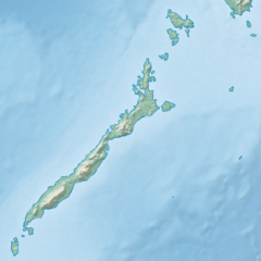
The Bacungan River is a stream or a body of running water in the Philippines' province of Palawan, Mimaropa. The river is situated south of Mangrove Inlet. The terrain elevation above sea level is estimated to be 15 meters (49 ft).
References
- "Bacungan River". Geoview.info. Retrieved April 20, 2022.
This article related to a river in the Philippines is a stub. You can help Misplaced Pages by expanding it. |
This article about a location in Mimaropa region is a stub. You can help Misplaced Pages by expanding it. |