| This article does not cite any sources. Please help improve this article by adding citations to reliable sources. Unsourced material may be challenged and removed. Find sources: "A23 road" Northern Ireland – news · newspapers · books · scholar · JSTOR (June 2017) (Learn how and when to remove this message) |

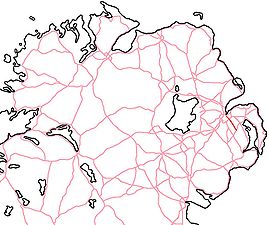
The A23 is an 8.7-mile-long (14.0 km) road in County Down, in Northern Ireland. The route starts in near the Short Strand district in east Belfast and follows the Castlereagh Road through the southeastern suburbs of the city. Upon passing through the A55 Outer Ring Road, the A23 becomes the Ballygowan Road. It passes through the Castlereagh Hills and finishes in the village of Ballygowan at a roundabout with the A21.
References
| Roads in Northern Ireland | ||
|---|---|---|
| Motorways |  | |
| Main 'A' roads | ||
| Main 'B' roads | ||
| Others | ||
54°33′28″N 5°51′05″W / 54.557797°N 5.8513°W / 54.557797; -5.8513
This Northern Ireland or road transport-related article is a stub. You can help Misplaced Pages by expanding it. |
This article related to the geography of County Down, Northern Ireland is a stub. You can help Misplaced Pages by expanding it. |
This Belfast-related article is a stub. You can help Misplaced Pages by expanding it. |